
Willingboro ZIP Code Coverage
The research verifies one postal code for Willingboro: 08046. It appears on the Township’s current municipal, library, and vital-record addresses and on the USPS location for the Willingboro Post Office. That evidence supports a reliable starting point, not a claim about every edge of postal geography. No second code, PO-box-only code, unique code, boundary overlap, or realignment date was verified for the Township.
| ZIP | Areas Covered | Post Office | Notes |
|---|---|---|---|
| 08046 | Willingboro addresses verified on Township, library, vital-record, and USPS pages | Willingboro Post Office, 16 Rev. Dr. Martin Luther King Jr. Drive | Sole verified ZIP in the research; verify a particular address with USPS |
A short table is more useful than an invented one. The Willingboro ZIP code directory should be read address by address: confirm delivery with USPS, retain the standardized address if returned, then use the full street address with property systems. Postal shorthand does not replace a legal description or establish every parcel that might sit near the Township line.
Note: The post office’s own 08046-9998 facility address does not prove the delivery ZIP for an arbitrary Willingboro street.
Willingboro 08046 Postal Evidence
The USPS Willingboro Post Office listing places the facility at 16 Rev. Dr. Martin Luther King Jr. Drive and identifies its ZIP as 08046-9998. The Township’s own current addresses also use 08046. USPS lists retail hours separately from PO Box access hours, so those hours describe the facility rather than every carrier route. For a street address, use a live USPS address result instead of borrowing the post office’s facility code.
Source: The USPS listing for the Willingboro Post Office is the verified local postal reference.
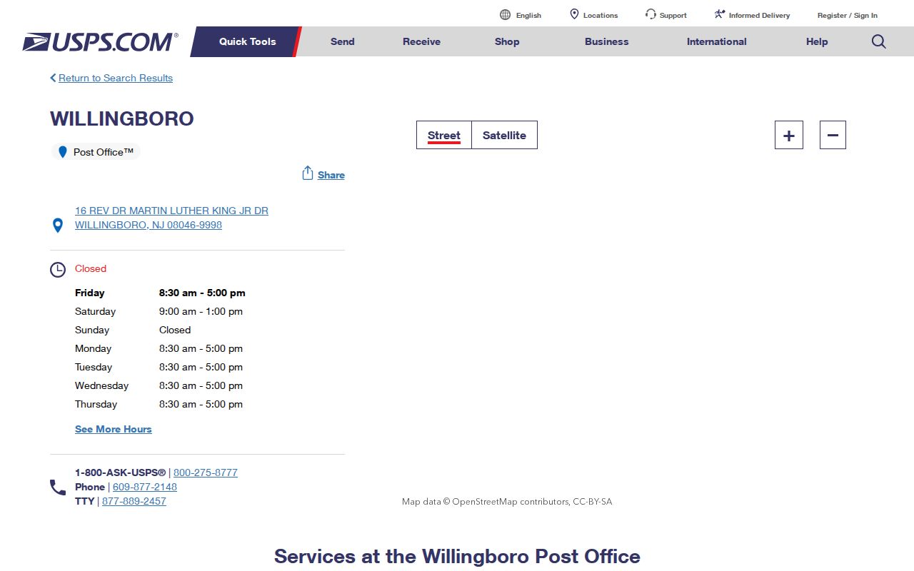
Preserve the exact address returned by USPS, including a ZIP+4 when supplied, before moving to a tax, parcel, or deed search.
Find Willingboro ZIP Code Records
No official Willingboro or Burlington portal in the research was confirmed to filter records by ZIP. WIPP uses address, name, account number, and block-lot routes. The County viewer uses address, owner, or Township-Block-Lot, and PRESS uses municipality, document, block-lot, or name routes. A postal code can therefore verify one address, but it cannot create a trustworthy ZIP-wide list of people from those systems.
- Check the particular address through USPS and retain the standardized delivery address and postal code returned.
- Enter the full address in WIPP or the County mapping tools to obtain the Willingboro parcel key.
- Use the block and lot, or a recorded party name, in PRESS according to the document’s date period.
- Check the legal description and recording reference before connecting a document to the address.
For recorded documents on or after March 1, 2012, PRESS permits block-and-lot or owner searching. The 1965 through February 2012 period is owner-name-only, and material before 1965 follows the County historic archive route. If the address has narrowed to a specific street, the Willingboro street directory has the fuller address-by-address record trail. Postal confirmation is the first check, not the final identity result.
The route changes with the question. Use the parcel reference to find a recorded document party or a historic title lead. Use the full address with the Assessor when the goal is assessment context. Do not convert a delivery code into a name filter that the portal does not provide. If an older record names Wellingborough or Levittown instead of Willingboro, retain that older locality spelling while comparing the parcel description and date.
Willingboro Parcel Keys After 08046
After USPS confirms delivery geography, parcel sources answer a different question. The published Township lookup guidance identifies WIPP paths for block, lot, qualifier, account number, name, and address. The County mapping guidance documents address autocomplete, an owner format of Last name, First name, and the Willingboro composite locator 0338-Block-Lot-Qualifier. A live WIPP or County parcel result was not inspected, so result columns such as mailing address, sales, exemptions, or a linked deed should not be assumed.
| Source | Key used after postal confirmation | What it helps establish |
|---|---|---|
| USPS | Standardized street address and ZIP | Delivery geography for one address |
| WIPP or Township Assessor | Address, name, account, block, lot, qualifier | Local assessment entry point |
| County GIS | Address, owner, or 0338 parcel locator | Parcel geography and mapped context |
| County Clerk PRESS | Municipality, block/lot, document, or party name | Recorded-document trail |
Source: The New Jersey Property Explorer describes address, county, municipality, block, and lot searching for assessment context.
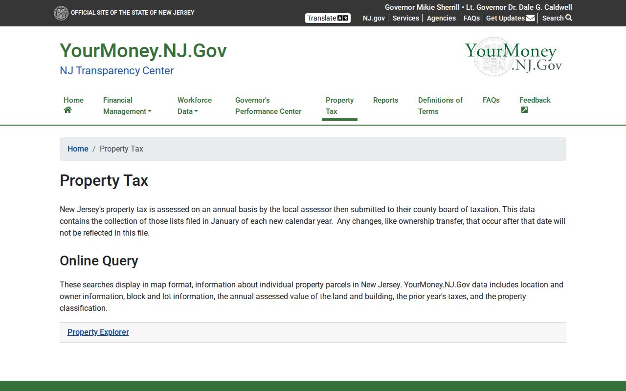
The State tool cautions that its annual assessment snapshot can lag a later transfer, so compare it with the local Assessor and recorded document when timing matters.
Source: The New Jersey parcel-data access notes explain the State’s hosted parcel and tax-list protections.
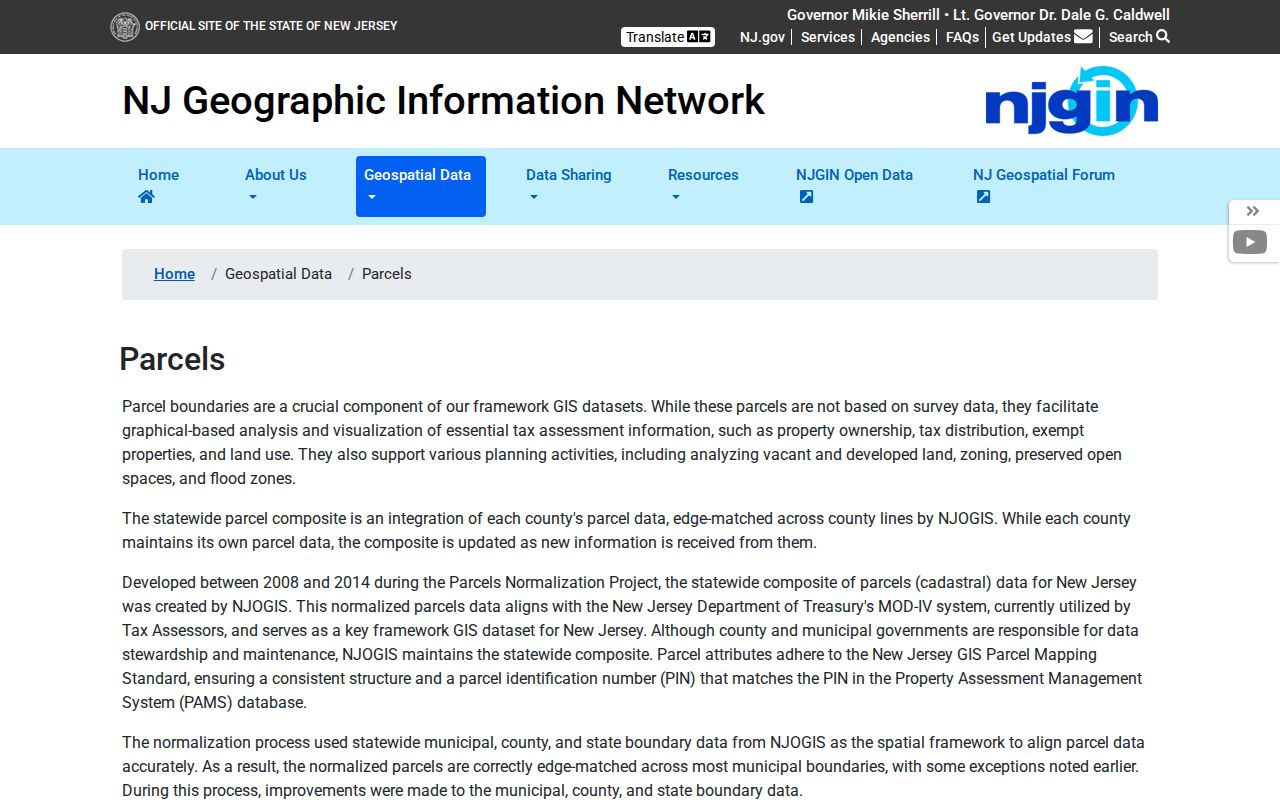
State parcel services redact protected owner names under Daniel’s Law, which is another reason a blank field cannot be used to infer a person’s local connection.
The County viewer is a mapping aid, not a final deed source. Its documented layers include parcels, aerial imagery, wetlands, flood zones, soils, contours, and municipal data. When the viewer is available, an address search can lead to the parcel location; when it is offline, WIPP, the State Property Explorer, and a specific County GIS inquiry remain better options than guessing from a postal label.
Willingboro ZIP Portal Limits
ZIP information does not unlock a ZIP filter in the verified property, voter, or Clerk tools. The Voter Information Portal is an individual registration-status service, not a ZIP or neighborhood roster. PRESS never becomes a street-wide name list merely because an address has been checked. The County viewer can show parcel geography when available, but the County’s Interactive Maps page has labeled the property viewer interfaces offline, so its map is not a dependable first step at every moment.
When the online route ends, ask the correct custodian for a specific record. A municipal request goes through the Township’s NextRequest OPRA portal with the department, record, time period, and delivery preference. An OPRA request must identify an existing government record. It does not require an office to compile a ZIP-wide set of names.
A ZIP may appear alongside an address in a request, but it should never replace the record description, parcel key, date range, or document reference that lets the custodian locate an actual record.
The County Clerk offers another non-screen channel for land records. Its computerized index is available remotely and on in-office public computers, while records not immediately available can require hard-copy searching. Take an instrument number, book and page, or a document type with a narrow date range to the Clerk. Staff can locate identified records, but they are not title searchers and cannot resolve a broad postal-area question.
Willingboro Parks and Postal Labels
Willingboro’s planned-community layout supplies a useful orientation clue without changing the postal evidence. The Township describes 12 named parks or sections, and its fact sheet says streets within each section begin with the same letter as the section name. The pattern can help a researcher recognize an address, but it does not establish a citywide quadrant system, a legal grid, or the ZIP for an unverified street.
Source: The Township’s Willingboro geography page describes the community context and its park sections.
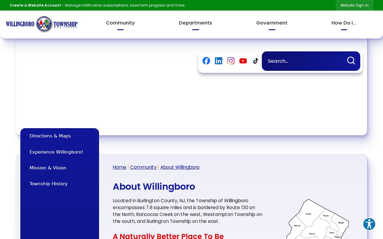
Use the park and same-letter street pattern as an orientation detail, then return to USPS and the parcel identifier for a record-level check.
Willingboro Postal Boundaries
A ZIP is postal-delivery geography, while the Township boundary and a deed’s legal description are separate systems. Willingboro is bounded by Route 130, Rancocas Creek, Westampton Township, and Burlington Township, but the research did not locate USPS boundary material proving every overlap at those edges. An older deed, rural route, or locality label may also reflect a different historical setting. Preserve its date and legal description rather than changing it to match a current postal label.
- ZIP versus ZIP+4
- The five-digit code identifies a broad delivery area; ZIP+4 adds a delivery-sequence detail returned for a particular address.
- PO Box ZIP
- A postal code used mainly for post office boxes; none was verified for Willingboro in the research.
- Unique ZIP
- A code assigned to a single organization or facility; none was verified for Willingboro.
- Carrier route
- A USPS delivery grouping, not a municipal boundary or a verified local person-search field.
Source: The Willingboro Tax Office page explains the separate tax-mailing-address route.
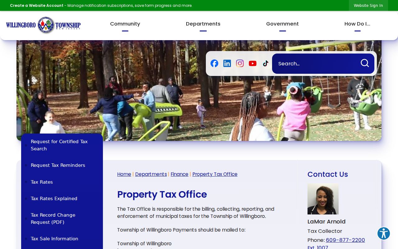
The Tax Record Change Request uses block and lot with property and mailing details, showing why mail correspondence and a physical parcel should not be treated as identical facts.
Willingboro ZIP Evidence Limits
The verified evidence supports 08046 and an address-first workflow. It does not support a census of residents by postal code, a list of every marginal ZIP, or a claim that a postal label proves Township jurisdiction. The safest record trail keeps four facts separate: USPS delivery address, parcel block and lot, the deed’s legal description, and the date attached to each source.
Older location research needs one further check. Wellingborough, Levittown, and Willingboro appear in different historical periods after the Township’s boundary revision and 1959 to 1963 name change. Postal data cannot resolve that history. For a historic record, search the name used at the time and compare the County or State record before attaching it to a present-day address.
The Township’s 1956 boundary revision also separates older geography from a current mailing label. Rancocas Village was annexed to Westampton, and earlier sources can describe an area that no longer sits inside the present Township. For a mismatch, keep the old locality, route, or legal description in the research notes and ask the County Clerk or State Archives for the period-appropriate record rather than forcing it into 08046.
Postal boundary note. Treat 08046 as verified delivery evidence for a checked address, not as proof that a person, parcel, or historical record belongs to the Township.